
Sources for Wallingford Neighbors
Public sources describe parcels and dated records, not every person behind every door. Wallingford's strongest block search joins the assessment card to a map, then checks each adjacent address separately. Voter and directory sources can add a dated person-to-place tie within their own legal and historical limits.
| Source | What It Shows About a Block | Access |
|---|---|---|
| Vision parcel card | Tax owner, situs, mailing, value, sales, building facts | Free, parcel by parcel |
| Town tax maps | Lot lines, numbers, acreage, map edges, nearby roads | Free PDF sheets; not a survey |
| MapXpress lot layer | Adjacent geometry and source or edit attributes | Public map; commercial focus |
| Historical numerical directory | Past names by street and house number | Free viewer; uneven years |
| Community organizations | Local context and contacts, not household rolls | Public pages or staff request |
Owner, mailing addressee, and occupant are three different facts. A trust, estate, business, town, or distant owner can appear on the assessment card. Write down exactly which field supplied the name.
Map Wallingford Neighbors Parcel by Parcel
The public MapXpress app does not offer a confirmed one-click neighbor report. Its reliable method is map browsing. Begin with a known address, identify the subject parcel, then move outward one lot at a time. The Vision assessment database provides the residential facts that the commercial-focused GIS may not show.
- Search the subject address in Vision. Record its PID, MBLU, situs address, mailing address, owner, and tax-map number.
- Open the matching tax-map sheet and MapXpress view. Compare parcel lines, roads, water, easements, map edges, and lot references.
- Click adjacent polygons where the layer allows it. Copy each displayed lot or MBL clue into a separate Vision address check.
- Confirm each owner on the parcel card. Never infer a name from a map label, shared driveway, or shared mailing address.
- Use deed descriptions or survey references if a line matters. GIS and tax maps are research aids, not surveys.
Once the search expands beyond the immediate block, the Wallingford street directory workflow is the better fit.
Explain Wallingford Boundary Differences
MapXpress source fields can explain why two screens draw a lot differently. The layer may identify a boundary as digitized, adjusted, split, combined, or based on a subdivision plan, tax map, aerial photo, or survey. Wallingford's SmartGov service says parcel lines were digitized from town tax maps in 1998 and 1999, checked with 2000 aerial photography, maintained in CAD by the Town Engineer, and converted by New England Geosystems in 2014.
That history is provenance, meaning the source and handling of map data. It is not a claim that each line is exact today. Save the map date and source field. If an easement, fence, access route, or ownership edge matters, follow the recorded plan and deed references at the Wallingford Town Clerk.
The Profile 4 comparison is especially useful here: Vision has exact owner, address, account, MBLU, and PID controls, while MapXpress is an address-led commercial and geometry tool. Neither replaces the other.
Separate Wallingford Owners and Occupants
The situs address tells where a parcel sits. The mailing address tells where the assessment notice goes. The owner field identifies the person or entity carried for tax purposes. None of those fields alone identifies all current occupants or even proves that the owner lives there.
- Parcel
- A mapped unit of land tracked by an identifying number.
- Situs address
- The physical location assigned to the property.
- Mailing address
- The destination used for the owner's assessment notice.
- MBLU
- The map, block, lot, and unit code used to track the parcel.
Renters, guests, unregistered adults, children, utility customers, and people with protected records do not form a complete public block list. Use conditional language whenever a source shows association rather than occupancy.
Trace Former Wallingford Neighbors
Historical numerical and criss-cross directories reverse the normal name search. Choose a street segment and fixed house-number range, read each address in one available year, then repeat that same range in other issues. The 1931 numerical section can form a first block list. The 1953 issue helps interpret spouse, company, and address formats, while later runs bridge toward modern assessment records.
Always cross-check a name in the alphabetical section and inspect the page image, since OCR can misread names and numbers. Mark a missing year as an issue not digitized or held, not as proof that no one lived there. A household can move while the deed stays with the parcel, and a parcel number can change while the street name remains.
Wallingford's digitized directory years are uneven, and no official townwide street-renumbering conversion year was found. For a failed old address, compare directory street lists, historical maps, deed descriptions, and Town Clerk guidance.
Wallingford Community Contacts
No official umbrella directory of Wallingford neighborhood associations, block clubs, or resident rosters was located. The town's Local Agencies list does identify civic and historical groups that can supply place names, events, maps, or contacts. Their role is context, not proof of who lives nearby.
Wallingford Center, Inc.
Downtown and community context. Town phone listing: 203-284-1807.
Historical Society
Historical maps, Parsons House, and local place research. Town phone listing: 203-294-1996.
Public Library
Directories, maps, clippings, yearbooks, newspapers, and staff-mediated local research.
The captured Wallingford Center, Inc. page is the clearest public downtown organization source found.
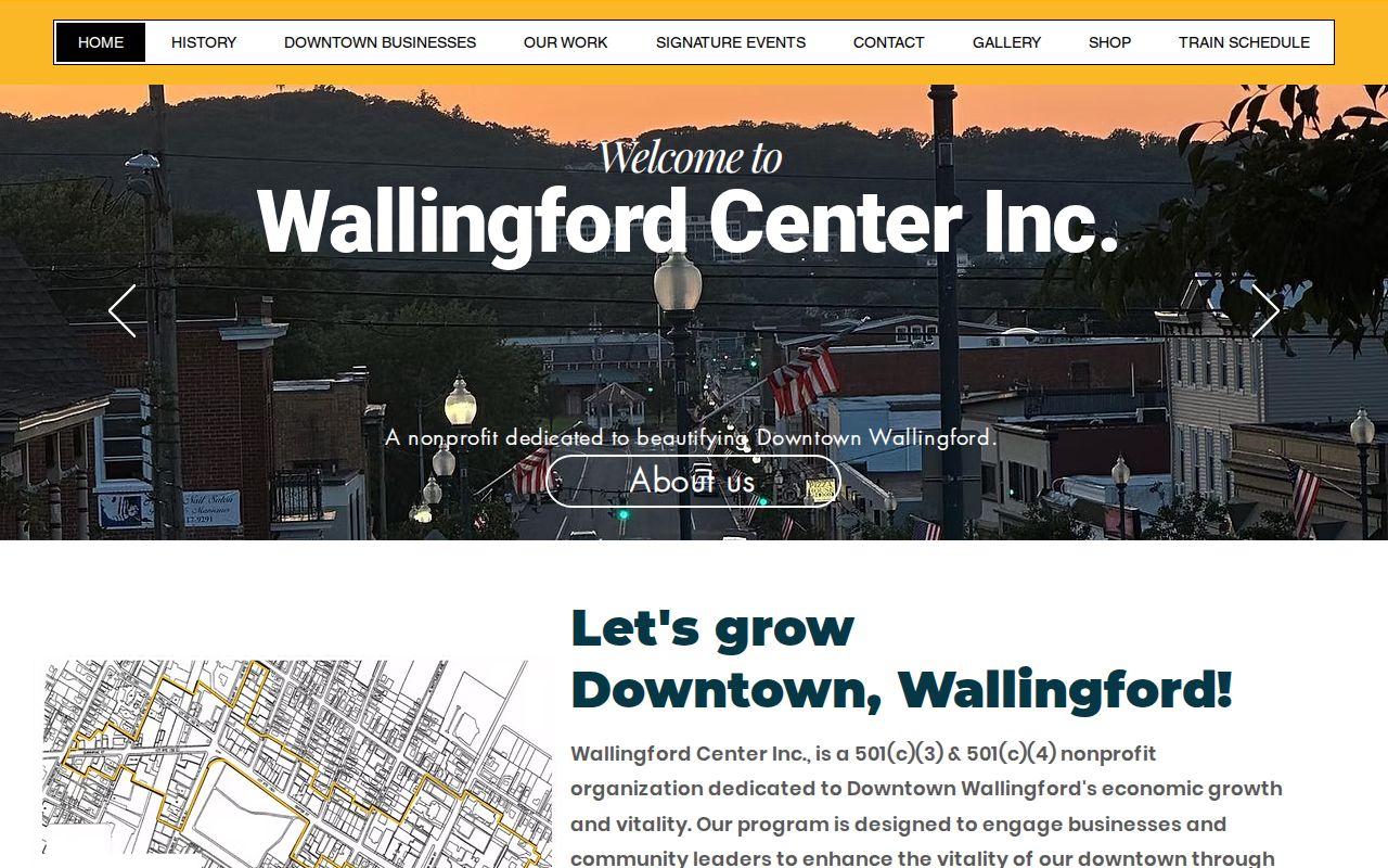
Its public role can explain downtown activity and connections, but it does not provide a resident member roll.
Wallingford Neighbors Through Local Maps
The Wallingford Historical Society adds context for a block whose street pattern, landmark, or name has changed. Its maps list includes Wallingford sheets from 1670, 1689, 1723, 1856, and 1868, an 1881 bird's-eye view, and Sanborn material from 1885, 1892, and 1897. The list is a finding aid. Inspect the actual sheet before treating a building outline or boundary as proof.

These dated views help explain the block's shape, but current parcel identity still belongs with Vision, the tax map, and recorded land descriptions.
Wallingford Voter Records by Block
There is no verified public tool that returns every registered voter on a Wallingford street. The current individual SOTS lookup did not render during the research pass, and the statewide voter file requires a written request, $300 payment, CSV-only delivery, and a lawful-use attestation. Its permitted purposes and privacy limits rule out treating it as a casual neighbor list.
When a lawful individual lookup shows a registration, record the source date, town, name, status, address or district only if displayed, party, public birth year, and allowed election-history fields. Such an entry proves registration at that date. It does not prove ownership, time at the address, or who else lives there. Protected voter addresses under CGS §9-50d must remain private.
Note: Ask the Wallingford Registrar for a dated aggregate or historical list rather than estimating from copied voter data.
Compare Wallingford Neighbor Sources
Official rolls and commercial neighbor tools answer different questions. A government record identifies its custodian, date, field, and legal purpose. A commercial profile may blend purchased data, public fragments, and inferred relationships without showing how each claim was made.
| Source Type | Strength | Limit |
|---|---|---|
| Official parcel and deed records | Traceable custodian, parcel, document, and date | Ownership is not occupancy |
| Official voter or court index | Specific public status or case role | Privacy and display rules apply |
| Historical directory or map | Dated block and household context | Uneven years and print or OCR errors |
| Commercial compiled profile | May suggest another lead | Source, date, and inferred links may be unclear |
Use the commercial category only as a lead. Confirm every useful claim with the original Wallingford or Connecticut custodian.
Privacy Limits for Wallingford Neighbors
Public parcel facts do not reveal every household member, person receiving mail, utility customer, guest, or protected resident. DMV address details are closed under federal and state privacy law. Safe at Home and voter-registry privacy can shield eligible people. Courts, vital records, and adoption files carry their own confidentiality rules.
Use public block research for property history, civic curiosity, reconnection, and lawful personal safety. Do not publish sensitive identifiers or infer family ties from a shared address. If a parcel record is wrong, contact the Assessor. If a deed or map reference is wrong, ask the Town Clerk. A broad opt-out cannot change an official source record.
Lawful use. Wallingford neighbor searches must not become surveillance, stalking, threats, harassment, or harm against any person.
A careful block search leaves uncertainty visible. It distinguishes record facts from assumptions and stops when privacy law or missing evidence closes the path.
Save block research as one row per parcel, not one row per person. Useful fields include the normalized street number, PID, MBLU, tax-map sheet, situs, mailing address, owner as printed, source date, and the map's source or edit note. Put historical directory names in separate dated rows. That structure prevents an old household from being mistaken for a present owner and keeps a shared mailing address from becoming a false occupancy claim. When lots cross a map-sheet edge, check both sheets and keep the cross-reference. When a name is missing, leave it missing. The sound answer may be that public sources identify the land but do not identify everyone connected with it.