
Wallingford ZIP Labels Explained
The principal Wallingford mailing ZIP is 06492. USPS also associates 06493, 06494, and 06495 with the Wallingford label family, but the public sources reviewed do not establish each one as a normal geographic residential zone. They require a current PostalPro check. A separate USPS announcement lists other codes served by the Wallingford Sorting and Delivery Center. Those are network assignments, not town boundaries.
| ZIP or label | Area or facility evidence | Post office | Safe reading |
|---|---|---|---|
| 06492 | Wallingford and Yalesville labels | Wallingford Post Office; Yalesville Station | Principal Wallingford mailing ZIP |
| 06493-06495 | USPS label and PostalPro family | Confirm in current USPS data | Do not assume ordinary residential geography |
| 06450, 06451, 06473 | Wallingford delivery-center service list | Wallingford S&DC network | Facility service does not prove a Wallingford address |
The Wallingford ZIP code directory therefore separates three ideas: a Wallingford postal label, a facility that processes or delivers mail, and a parcel legally within the town. Only an address-level USPS result and a municipal parcel check can settle the first and third questions.
“Serving Wallingford” can mean several things. It may describe a code printed with a Wallingford mailing city, a code handled by a facility located in town, or an address physically inside the legal municipality. Those groups overlap, but they are not equal. This ZIP code directory uses 06492 as the confirmed principal mailing code and flags the remaining codes for the narrower claim the source supports.
Search Wallingford ZIP Codes
The official USPS ZIP Code Lookup is the strongest current source for a full address. It asks for a street address, city, and state, then returns a standardized address with ZIP code and ZIP+4. Enter the address as mailed rather than guessing from a town map.
| USPS field | Type | Required use | Result or note |
|---|---|---|---|
| Street Address | Text | Enter the delivery address | Keep unit details when known |
| City | Text | Enter the mailing city | May differ from legal municipality |
| State | Select | Choose Connecticut | Limits the address match |
| Lookup | Button | Submit complete fields | Returns ZIP and ZIP+4 |
The linked USPS screen shows the form used for the first step.
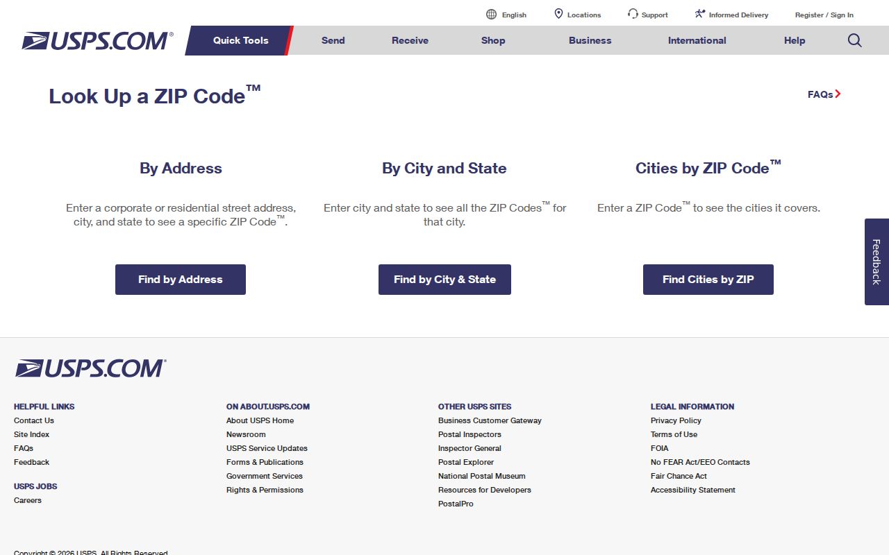
Save the standardized result and the date checked. Postal assignments can change, and a copied ZIP from an old directory may no longer match current delivery data.
Try the complete street suffix and unit first. If USPS standardizes the city label or abbreviates the street, retain both the submitted form and the returned form in research notes. A result can answer how mail should be addressed without answering whether the site lies within Wallingford. That second question belongs to the municipal record.
Read Wallingford PostalPro Data
The USPS PostalPro 06492 page supplies official locale and label context. It also links current data files, which should be checked before describing 06493, 06494, or 06495. A ZIP code directory should not turn a label-list row into a claim about a neighborhood or its residents.
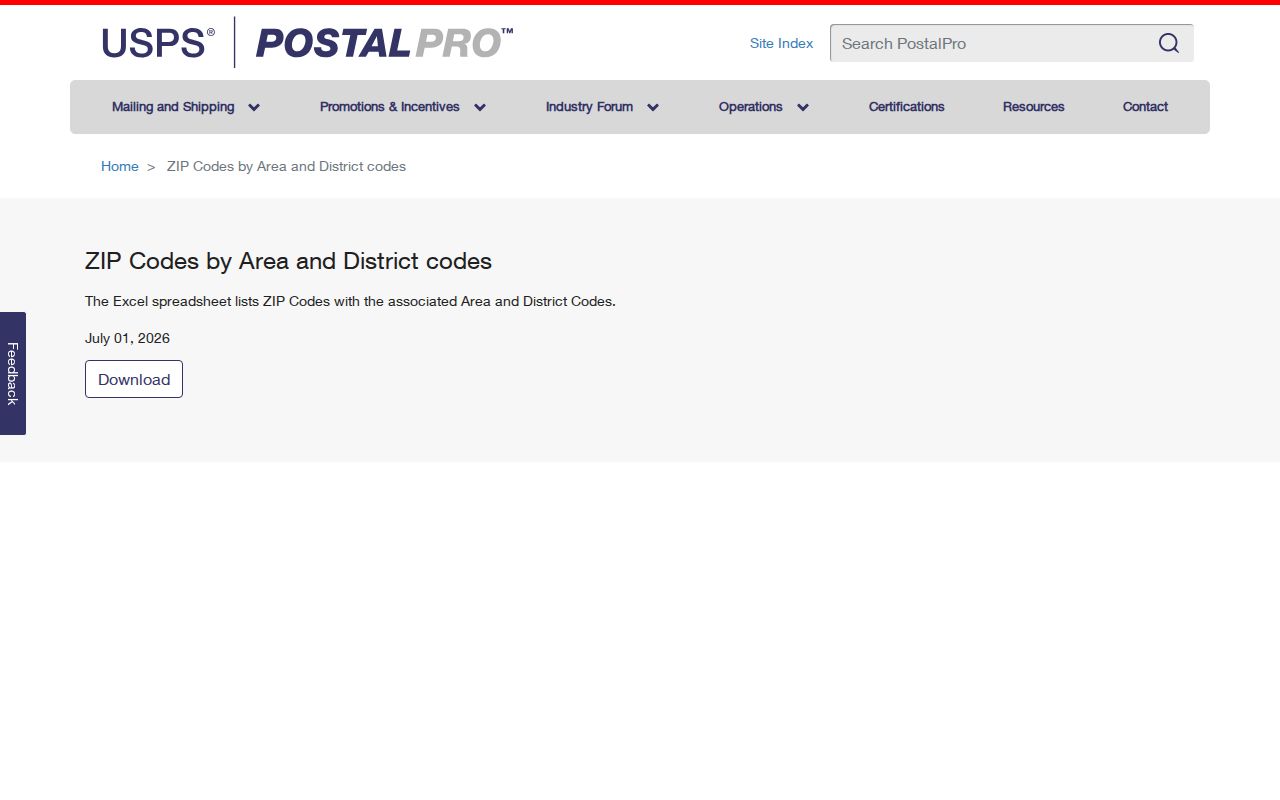
The locale view supports 06492 as the principal Wallingford code. It does not supply the missing town-wide residential boundary overlay, so parcel geography still comes from town sources.
Codes 06493 through 06495 are the chief caution. Current label materials place them in the Wallingford data family, yet the located public page does not explain their exact delivery-point status in a simple residential map. Recheck the linked spreadsheet at publication time. Never describe one as a neighborhood, population area, or resident group without that current evidence.
Wallingford ZIP Service Points
The Wallingford Post Office is at 4 South Main Street, Wallingford, CT 06492-9998, with phone 203-269-8712. Posted hours are 8 a.m. to 5 p.m. on weekdays and 8 a.m. to noon on Saturday. Yalesville Station is at 314 Main Street and uses 06492-9991. The Southern Connecticut/Wallingford Sorting and Delivery Center is at 24 Research Parkway, also under 06492.
These three sites have different roles. A retail post office or station can support local customer service, while a sorting and delivery center may serve routes far beyond town. In September 2024, USPS listed the Wallingford center with service ZIPs 06450, 06451, 06473, and 06492 through 06495. That list describes postal operations, not a Wallingford resident roll.
Yalesville is a good example of label nuance. The station name is locally meaningful, but the official table assigns it the same five-digit 06492 code as Wallingford. A separate station does not create a separate municipality or prove a distinct ZIP boundary. Preserve “Yalesville” when it appears in the source, then use the parcel system for the legal town and lot.
Find Wallingford Records by ZIP
Few official Wallingford record systems begin with a ZIP. USPS handles the postal check, but Vision is address-first and offers address, owner, account, MBLU, PID, and all-field modes. Town Clerk land records rely on names, legal descriptions, book and page, or street clues. The court property-address portal accepts a five-digit ZIP, but only within the case categories and date limits shown by that court system.
- Confirm the complete mailing address and ZIP+4 through USPS.
- Compare the result with Vision's situs address and separate mailing field.
- Use the assessor, MapXpress, or a town tax map to verify the legal municipality.
- When a court property search is relevant, enter all five ZIP digits and preserve the case type, status, and date.
- Once the result narrows to a named road, switch to the Wallingford street search for parcel-by-parcel work.
This process prevents the ZIP code directory from overstating what a mail route can establish. A mailing addressee, parcel owner, voter, court party, and directory entry describe different relationships.
Voter data also needs care. Connecticut's current individual lookup and public-file rules limit what can be seen and how a file may be used. A ZIP field in an authorized voter-data context does not become a general public resident list. For ordinary address research, the safer chain is USPS, municipal parcel, then only the specific official record that matches the question.
Why Wallingford Vision Is Address-First
Wallingford Vision does not show a ZIP filter in its standard search. Its sales page still provides an address-adjacent route and can help connect a standardized mailing address to a municipal parcel record. Use it after USPS, not as a postal authority.
The Wallingford Vision sales search illustrates that record-system distinction.
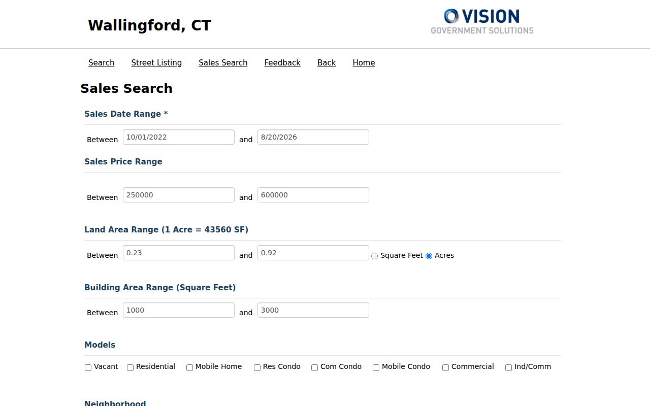
The interface belongs to the property layer. Match its situs address, owner, parcel key, sale date, and mailing address without assuming that any one field proves current occupancy.
Vision's MBLU breaks a parcel reference into map, map cut, block, block cut, lot, unit, and unit cut. Its PID is a separate internal key. Those identifiers can remain stable or traceable when a postal label is ambiguous. A deed may instead use metes and bounds, map and lot, a tract, or an easement, so the street and ZIP are only part of the bridge.
Wallingford ZIPs Versus Town Limits
A postal city is not a legal boundary. Addresses near Meriden, Northford, or another neighboring town can create label and jurisdiction questions, and the delivery center's service region is wider than Wallingford. No town-published ZIP overlay was found. Use USPS for delivery geography and the assessor, MapXpress, tax maps, or another official boundary source for municipal geography.
- ZIP code
- A five-digit USPS routing code, not a municipal border.
- ZIP+4
- The base code plus four digits that refine a delivery segment.
- Unique ZIP
- A code assigned to a high-volume recipient or special delivery use, not automatically a neighborhood.
- Carrier route
- A group of delivery points arranged for postal service.
Before Wallingford ZIP Codes
Wallingford's historical directories reach back to 1883, long before modern ZIP codes. Search those issues by surname, street, house number, business, or the numerical street section. Do not assign today's 06492 to an old entry unless a period source printed that postal detail. Streets, rural routes, and parcel references can change independently from a later mail code.
For a past address, record the directory year and page, then compare a period map, census, deed description, and modern parcel key. That keeps a historical place tied to evidence rather than to a modern postal guess. The same caution applies to Yalesville: its station name and the town's legal geography are useful context, but they are not proof that every source used the same place label.
Other address systems do not replace that chain. Wallingford did not expose a public E911 address-assignment portal in the research sweep, and no public utility-customer or school street finder was located for resident evidence. Planning, engineering, building, and emergency-management contacts may hold records for a specific issue, but the absence of an online search is not permission to infer a ZIP boundary.
Keep source dates with every finding. PostalPro files, delivery routes, assessment fields, and court display windows can change. If two official sources disagree, record each result and ask the custodian that owns the field. USPS owns the mailing result; Wallingford owns its parcel and municipal records. That division is the safest way to use a ZIP code directory without turning mail data into a claim it cannot support.